

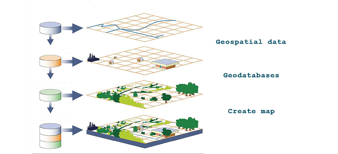
Our company has recently acquired the most complete and efficient software ArcGis and WinPad Ultra 12.1 Tablet suitable for outdoor data mapping, which has the ability to use and incorporate this technology in all the studies carried out, for the organization, management and dissemination of geospatial data. Our company can deliver for public and private institutions a wide range of GIS applications as:
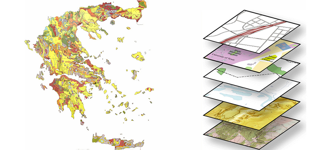
· Geospatial data digitization (digital print), organized into geodatabase and application of spatial analysis.
· Imprinting drilling position
· Imprinting irrigation networks
· Imprinting water supply networks
· Map-database production
· Geological applications
· Land usage applications
Contact info
Zavridis Kostantinos
Geologist Α.Π.Θ.
Mobile: +30 6973887216
Katerini PC: 60100
Geologist Α.Π.Θ.
Phone: +30 2351100238
e-mail:[email protected]
Fax: +30 2351100238
Mobile: +30 6973887216
Katerini PC: 60100
Contact


Κωνσταντίνος Ζαβρίδης,Γεωλόγος,Well logging γεωτρήσεων,Γεωτρήσεις,Υδρογεωτρήσεις,Διαγραφία,Κατασκευή γεωτρήσεων,Κατερίνη,Πιερία
Real Time Reservations & Web Site development powered by SecureShop 